J Maizlish Mole 

Memory mapping the Isle of Skye, Scotland – in pictures

Artist J Maizlish Mole walked the Isle of Skye, committing its roads and features to memory and collecting local oral histories along the way, to produce incredibly accurate maps as pieces of art


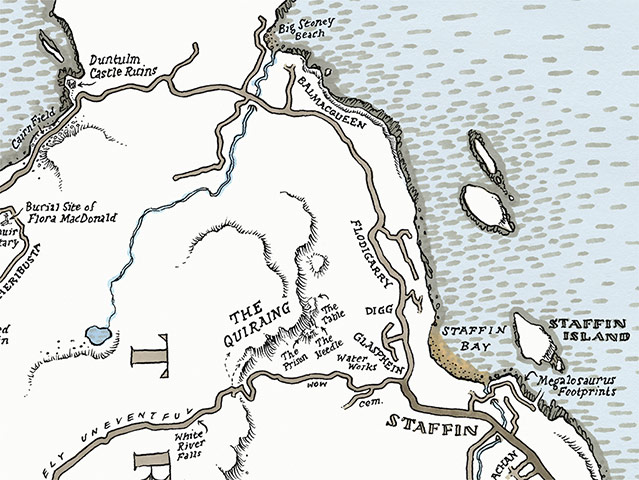
Skye maps: Every Road on the Isle of Skye: Quiraing
This detail shows the Quiraing. Often used in films and TV commercials, this magnificent land formation is at the north end of Skye, at the tip of the Trotternish Ridge. There were also fossilised dinosaur footprints discovered on the eastern shore here a few years ago
Photograph: J. Maizlish Mole, 2012/Commissioned by ATLAS Arts and Portree Community Trust
Photograph: J. Maizlish Mole
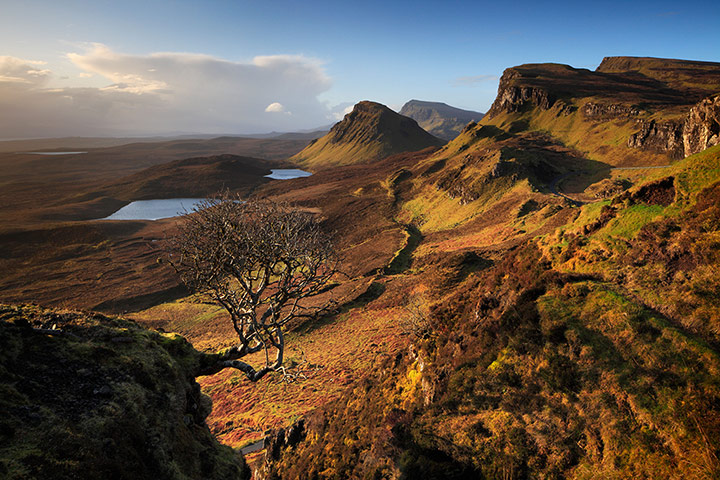
Skye maps: Quirang, Isle of Skye, Scotland
Early morning view of the Quirang Photograph: Robert Garrigus/Alamy
Skye maps: Every Road on the Isle of Skye: Cuillin
When not hidden behind clouds, the dramatic black Cuillin dominates the landscape. This detail shows an area of Skye not accessible by road. (Detail from the Every Road on the Isle of Skye map)
Photograph: J. Maizlish Mole, 2012/Commissioned by ATLAS Arts and Portree Community Trust
Photograph: J. Maizlish Mole
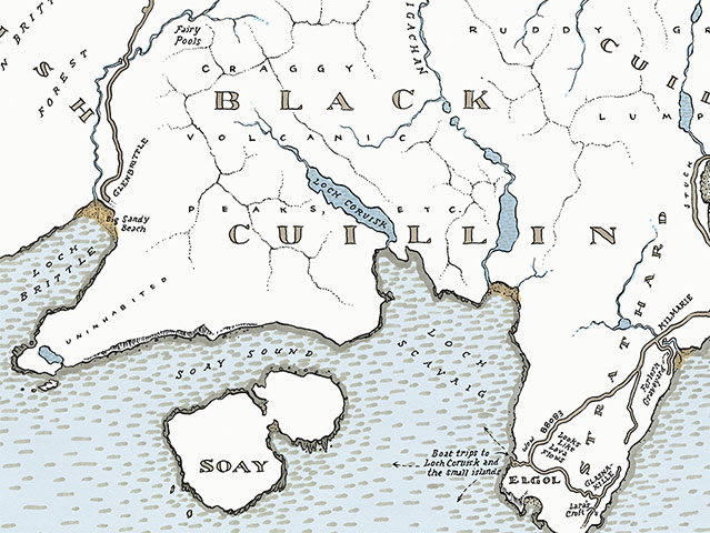
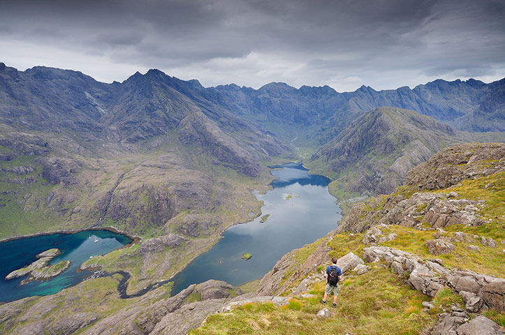
Skye maps: Loch Coruisk to the Black Cuillin mountains, Isle of Skye
Walker admiring the view over Loch Coruisk to the jagged ridge of the Black Cuillin mountains Photograph: Stewart Smith/Alamy
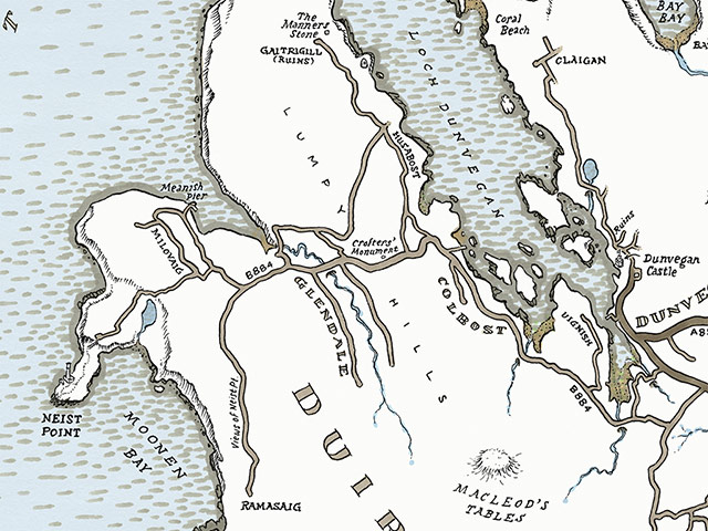
Skye maps: Every Road on the Isle of Skye: Neist Point
Neist Point is Skye's westerly tip, with views to the Outer Hebrides and, if you're lucky, passing whales. A roadside monument to the Glendale Martyrs and the crofters' uprising of 1883 is also marked on the map. (Detail from Every Road on the Isle of Skye map)
Photograph: J Maizlish Mole, 2012/Commissioned by ATLAS Arts and Portree Community Trust
Photograph: J. Maizlish Mole
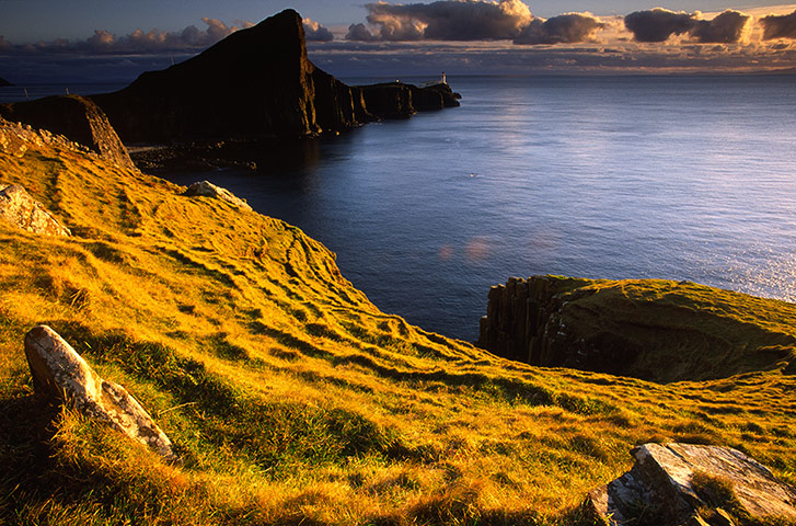
Skye maps: Neist Point, Isle of Skye, Scotland
Warm glow of the setting sun cast over the curving headland at Neist Point Photograph: Steve Atkins/Alamy
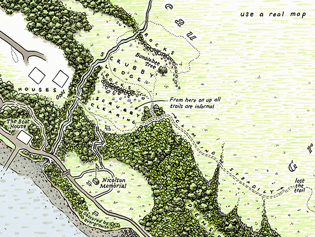
Skye maps: A Walk Around Portree: Scorrybreac trail
To produce his A Walk Around Portree map, J Maizlish Mole walked in and around town for two weeks. This detail shows the Scorrybreac – a 3km trail around Ben Chracaig on the east side of Portree, and a local favourite among walkers and birdwatchers. This map is perhaps the most detailed description of the walk, as it includes many of the incidental curiosities along the way Photograph: J. Maizlish Mole
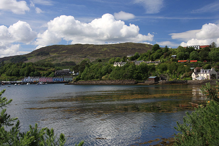
Skye maps: Portree Harbour, Isle of Skye
Portree Harbour seen from the Scorrybreac trail Photograph: Jenny Bailey/Alamy
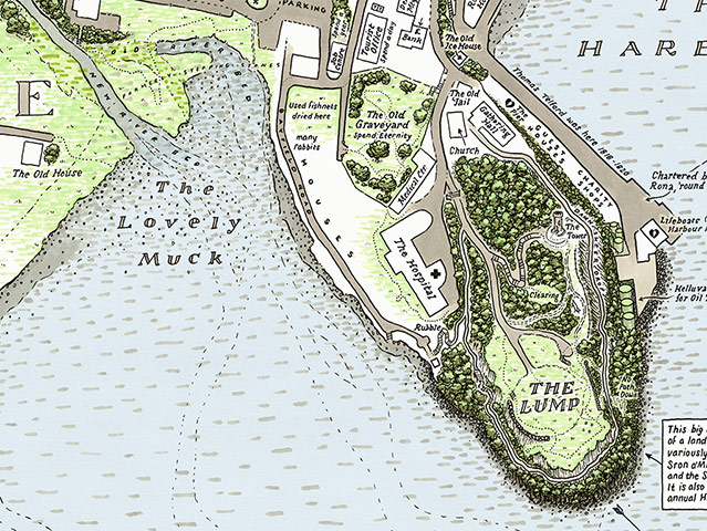
Skye maps: A Walk Around Portree: The Lump
The Lump is a natural amphitheatre where the annual Highland Games is hosted. It is one of the most prominent geographical features in Portree, but is somehow also quite hard to find from the centre of town. 'The Lovely Muck' is more properly known as Bayfield. (Detail from the A Walk Around Portree map) Photograph: J. Maizlish Mole
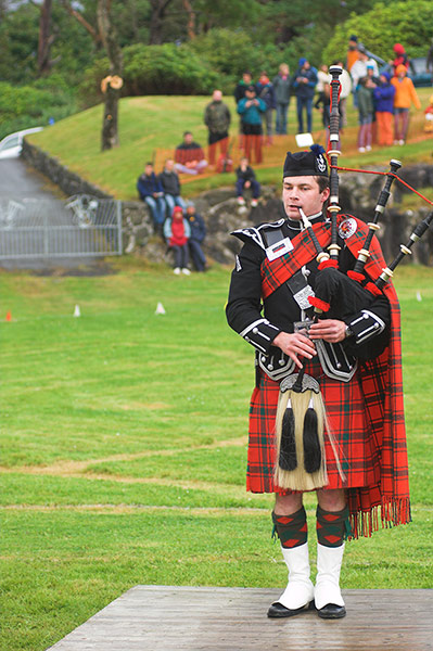
Skye maps: Highland games, Portree, Isle of Sky
Highland games, Portree, Isle of Skye Photograph: Mikael Utterstrom/Alamy
 

Leave a Comment

Required fields are marked *

*

*