Distance 8 miles (12.8km)
Classification Easy
Start Fairfield Road, Chester, CH2
Finish Dock's Road, Connah's Quay, CH5
Duration 1 hour
Route NCN route 5
Map OS Landranger 117, AA guide Cycling in the North of England
Route notes
Billed by Sustrans as "the ideal undemanding ride", this gentle trundle takes riders along the scenic route of the former Mickle Trafford to Dee Marsh railway line, which once served the Hawarden bridge steelworks. While the most direct route from the start takes you down main roads in Chester, you can instead use the towpath of the Shropshire Union canal (shown below). Once out of Chester, the route passes through lush farmland.
Terrain and gradients
Smooth and flat.
How to get there/away
The start point is close to Chester railway station. The end point is in Connah's Quay, a short distance from Hawarden bridge and Shotton stations.
What to see
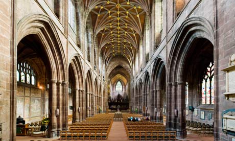
Nestled in a crook of the river Dee, historic Chester is full of architectural treasures, from the excavated ruins of its Roman amphitheatre to its 11th-century cathedral and medieval city walls with fragments dating back to Saxon and Roman times. From the outskirts of Chester the foothills of Snowdonia begin to appear in the distance to the south-west, while the end of the route lies on the edge of the Dee estuary.
Watering holes
Head to the Sir Gawain and the Green Knight pub in Connah's Quay (Golftyn Lane, CH5 4BH) or the Halfway House (Church Street, CH5 4AS).

