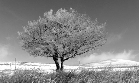
A stand out of this walk has to be the fantastic views over Northern Ireland and beyond; from one point you can see as far as the Mourne and Sperrin Mountains and the coastlines of Scotland and the Isle of Man.
During the winter months, the views can be amazingly clear and there are glorious sunrises and sunsets that turn the sky roaring red.
There's so much to see, both in terms of man-made sites and natural ones: Belfast's famous dockland where the Titanic was built, buzzards and kestrels hovering over the open fields, aeroplanes flying beneath you and then coming in to land at George Best City and Aldergrove International airports.
The highlight of the walk, for me, is the fact that you are walking in the open countryside [until five years ago, it was out of bounds for over 30 years after the Ministry of Defence acquired the land to build a hilltop communications centre during the Troubles] and, as you crown the Black Mountain, only then can you see Belfast City as it opens up below you.
Post-walk, I'd recommend a trip to the BallyMac Hotel - it does good farmer food portions.
In order to get maximum enjoyment from the walk and the elements, I'd strongly advise wearing appropriate outdoor clothing; stout footwear is essential. Bring a friend and (most important) a camera.
• Find out more at nationaltrust.org.uk/walks. nationaltrust.org.uk/divis, 02890 825434.
Route and directions
Start: Divis and the Black Mountain Grid ref: J740266. Map: OSNI, Discovery Map Series, Sheet 15, Belfast
1. From the entrance, head towards the Divis transmitter mast. Follow the wooden boardwalk to the right, onto the summit of the Black Mountain, marked by a trigonometry pillar.
2. Walk straight down to the fence line, turn right and head to the summit of the Black Hill in front of you.
3. Negotiate the stile beside the field gate. Proceed with the fence line on your left.
4. Continue until you are upon the telegraph poles and the fence takes a sharp left. Head left (eleven o'clock) to the trigonometry pillar on the summit of the Black Hill.
5. With the trigonometry pillar to your back (facing away from the city), head straight down the hill.
6. Pass over the walled remains of the old Gamekeeper's Cottage.
7. Onwards, cross the fence line at the stile beside the old mill dam. This dam was one of two feeder dams on the Collin River that provide a steady water source for McCances Mill in the townland of Suffolk, near Belfast. Turn left, facing ten o'clock, and continue.
8. Pass through the kissing gate to enter the main car park, finishing this circular route.
Terrain and accessibility
Allow about three hours for this five-mile (8km) walk, following tarmac roadway and wooden boardwalk, open heath and blanket bog. Moderate terrain, tending to get boggy at the end of the walk. Dogs welcome. Please keep on a lead, as livestock in fields. No dog bins so please take dog litter home.
Getting there and local facilities
By foot: Access via Divis Road, Hannahstown, BT17 0NG
By bike: Access via Divis Road, Hannahstown, BT17 0NG
By bus: Arriva bus routes Ulsterbus no. 106 between Belfast and Crumlin via Hannahstown, alight Upper Springfield Road
By car: Access from M1 onto A55 (signposted Falls). Access from Divis Road, off Upper Springfield Road. Signposted from Monagh Road
2,000 acre mosaic of upland heath and blanket bog. Home to wealth of flora, fauna and archaeological remains. Accessible toilets are available in Long Barn Visitor Centre.

